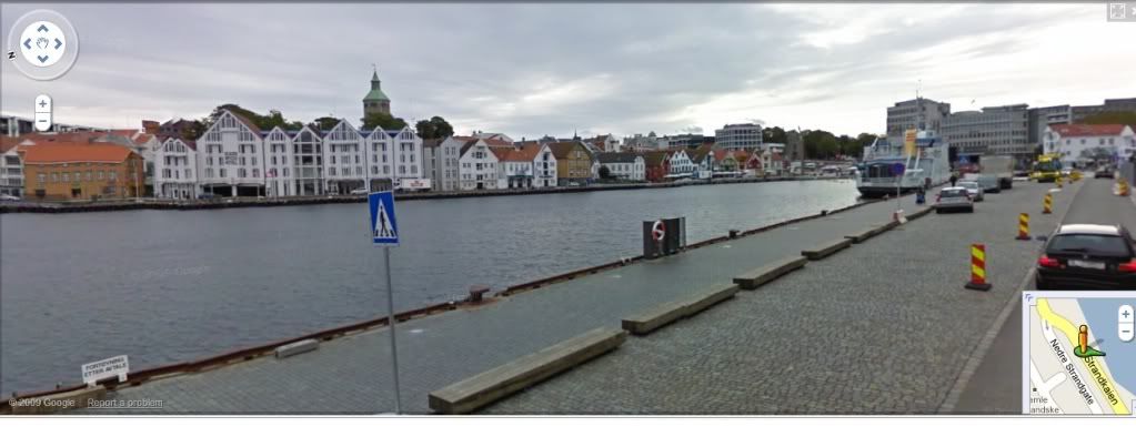
A few years back Google introduced the service known as Street View. They basically take car and drive through the city strrets and they take photos. This is linked up to Google Maps and this means that you can take virtual walks in cities like London, New York, Paris etc. But now the turn has finally come to my beloved hometown Stavanger ![]() It seems like the photos have been taken on a pretty nice autumn day last year and you can walk around a lot of the streets in downtown Stavanger. So the only thing missing now Google is a good satellite image of the city center itself!! So start by a walk from the Norwegian Petroleum museum, Or maybe walk past the iron age farm, check out the beach at Sola, check out the view of the city from the bridge leading over to Hundvåg etc. Welcome to Stavanger…both virtually and in real life
It seems like the photos have been taken on a pretty nice autumn day last year and you can walk around a lot of the streets in downtown Stavanger. So the only thing missing now Google is a good satellite image of the city center itself!! So start by a walk from the Norwegian Petroleum museum, Or maybe walk past the iron age farm, check out the beach at Sola, check out the view of the city from the bridge leading over to Hundvåg etc. Welcome to Stavanger…both virtually and in real life ![]()
Archive for February 9th, 2010
Category: News, Technology, Travel
| | One Comment

